Start with the mission.
Bring aerial imagery from real-world drone operations into a project workspace built for mapping and inspection workflows.
DroneMesh brings photogrammetry, mapping and visual delivery into one local-first desktop experience. Import a mission, process the imagery, explore the result and hand off professional geospatial products without making cloud processing the center of your workflow.
DroneMesh is designed around the complete mapping experience: bring in the flight, build the site, inspect the products and deliver results in formats that fit the work.
Bring aerial imagery from real-world drone operations into a project workspace built for mapping and inspection workflows.
Turn overlapping imagery into spatially coherent products that make roads, assets, terrain, vegetation and work areas easier to understand.
Move beyond a folder full of files with visual products, interactive presentations and exportable geospatial deliverables.
One desktop path from mission imagery to finished products keeps the work easy to follow and easy to hand off.
DroneMesh brings the core outputs of modern drone mapping into one product experience.
High-resolution site imagery assembled into a coherent top-down map for inspection, documentation and measurement workflows.
Surface and terrain products that add vertical context to sites, grades, drainage, earthwork and changing landscapes.
Dense spatial data for downstream GIS, CAD, engineering and 3D analysis workflows.
Visualize sites as dimensional models for stakeholder communication, review and immersive presentation.
Transform elevation information into familiar linework for planning, mapping and field communication.
Organize results into clear handoff packages that move naturally into client, GIS and operational workflows.
Current DroneMesh development imagery lets you inspect the orthomosaic at a level a feature list cannot show. Open either frame to view the source image at full resolution.
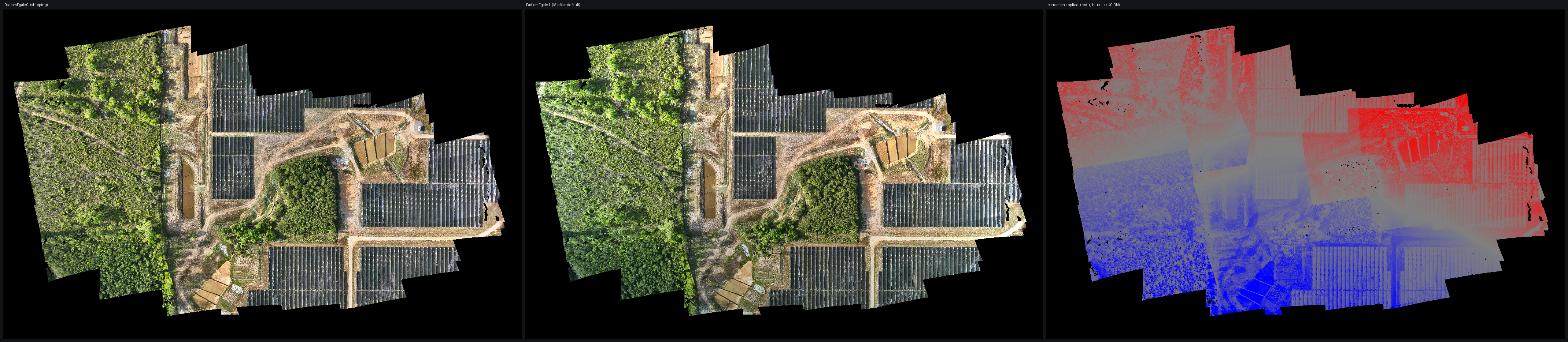
A development comparison view for evaluating how source-frame appearance carries into the assembled orthomosaic.
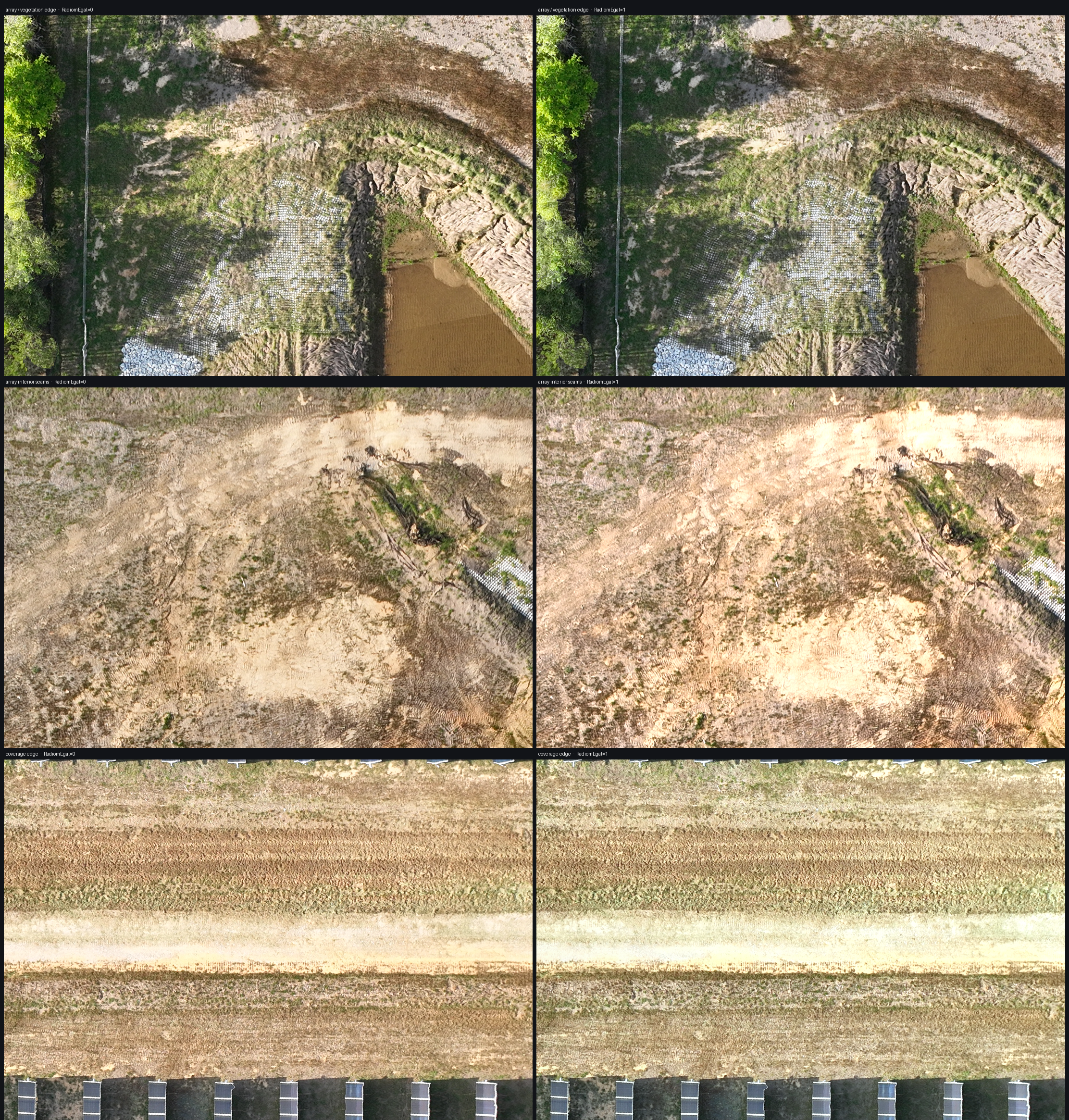
A high-detail crop for inspecting the local join between neighboring source images in the current processing output.
DroneMesh is designed around customer-controlled compute. Mission imagery, site context and derived products can be processed on the workstation instead of requiring a third-party upload before the work can begin.
Photogrammetry runs on the hardware you control, keeping the primary processing path close to the mission data.
Connected storage can be used for delivery or handoff when you choose; the mapping workflow does not depend on uploading the mission first.
A completed 3,711-image DJI M3E mission processed end to end locally in 18m 22s and produced 10 validated deliverables.
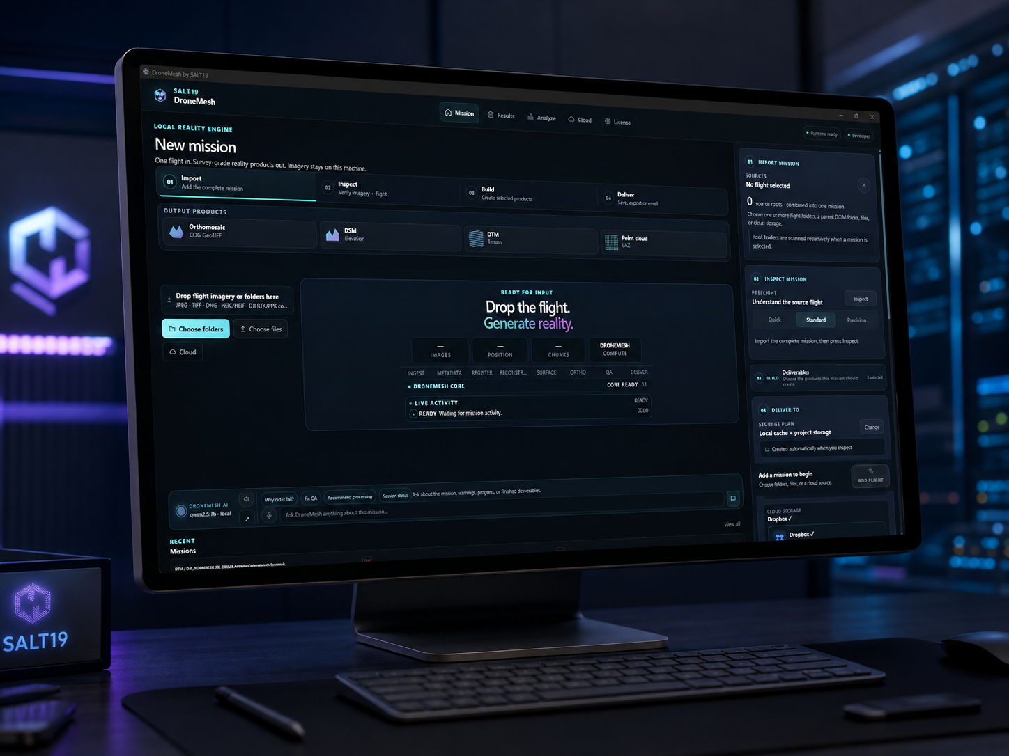 Local-first workstation
Get DroneMesh product news, benchmark updates, release milestones and invitations to pre-release builds when they become available.
Leave your email and SALT19 will send meaningful DroneMesh development and release updates. Pre-release access is invitation-based and is not guaranteed by joining the list.
Explore DroneMesh’s interactive first orthomosaic, then imagine the same experience around your own mission data.